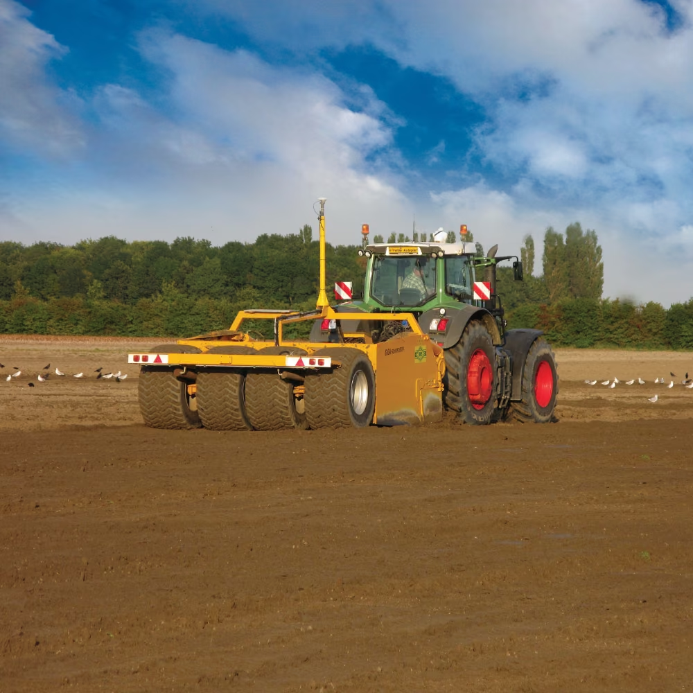
Why choose FieldLevel II?
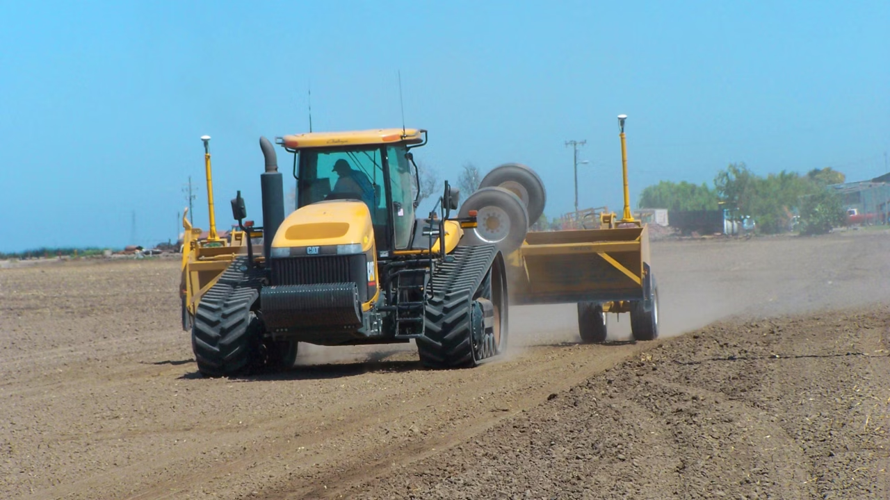
Improve Yields and Minimize Costs by Controlling Excess Water
FieldLevel II includes 2D and 3D design capabilities to give you more options for both simple and more complex landscapes. Plus, the system offers two methods for installing rice levees, terraces and other structures in-field: complete design and guidance or manual guidance along a contour.
Use Any Equipment Make or Model to Grade Fields
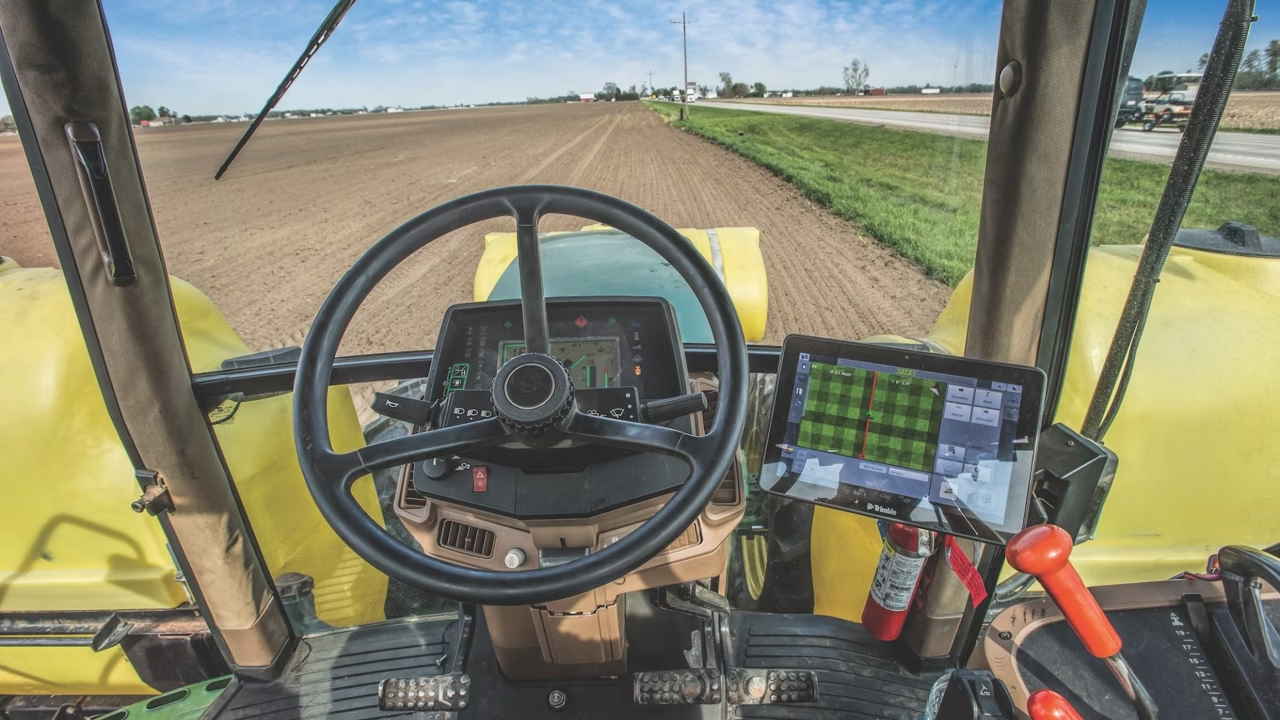
The FieldLevel II survey and design module is installed on your TMX-2050™ display, while leveling components are installed directly to the tractor’s hydraulic system or onto your grading equipment to automatically control hydraulic valves for scrapers and buckets.
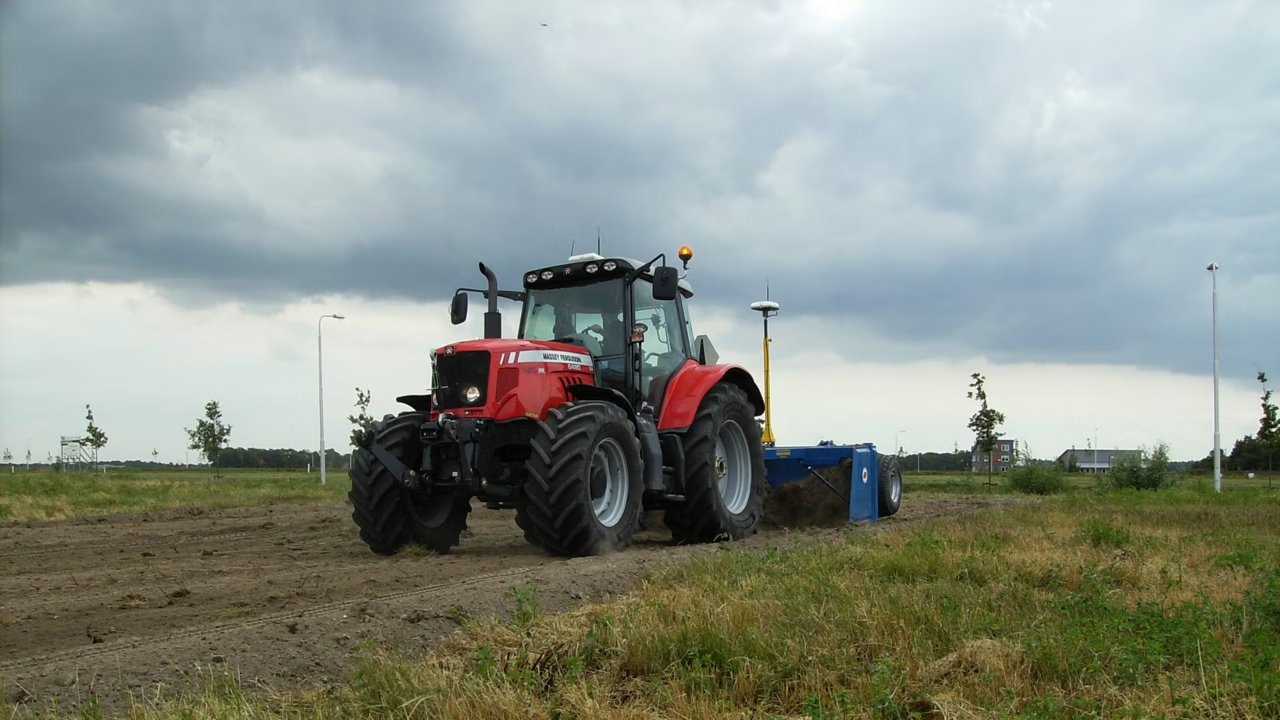
FieldLevel II for Land Forming
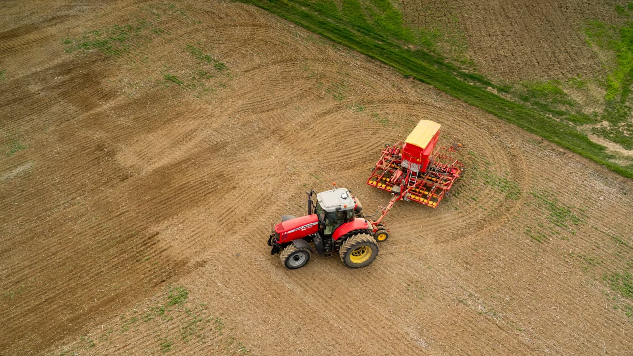
Survey
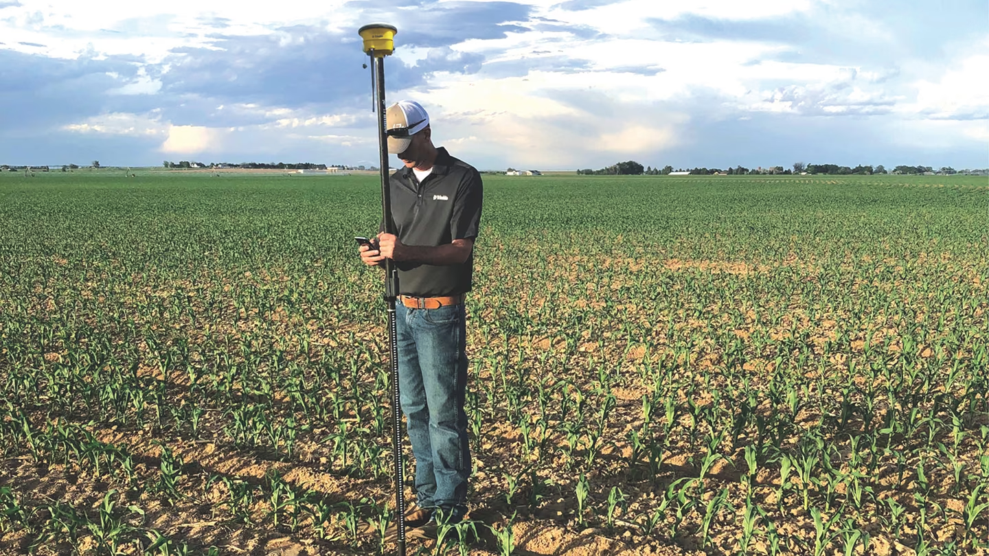
- Precisely map fields with RTK precision.
- Create boundaries, interior points and surfaces with ease.
- Calculate and report on the true area of your survey for optimal field coverage and accurate surface designs.
Design
- Create a best-fit surface using Simple Plane or AutoPlane technology.
- Define primary and cross slopes for prescribed orientation and grades.
- Use Multiplane in WM-Form for more complex field requirements.
Form
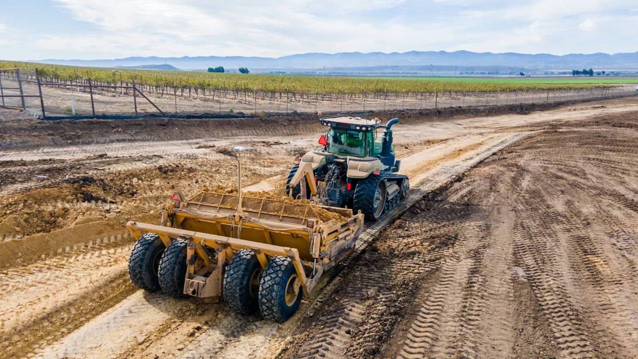
- Automatically control the scraper hydraulic valves on any type of tractor and scraper to level your fields.
- Operate both tandem and dual scraper systems to increase the productivity of your land forming projects.
FieldLevel II for Levee Creation
Complete Levee Solution
Survey
- Capture 3D topography data using the FieldLevel II module on the TMX-2050 display.
Design
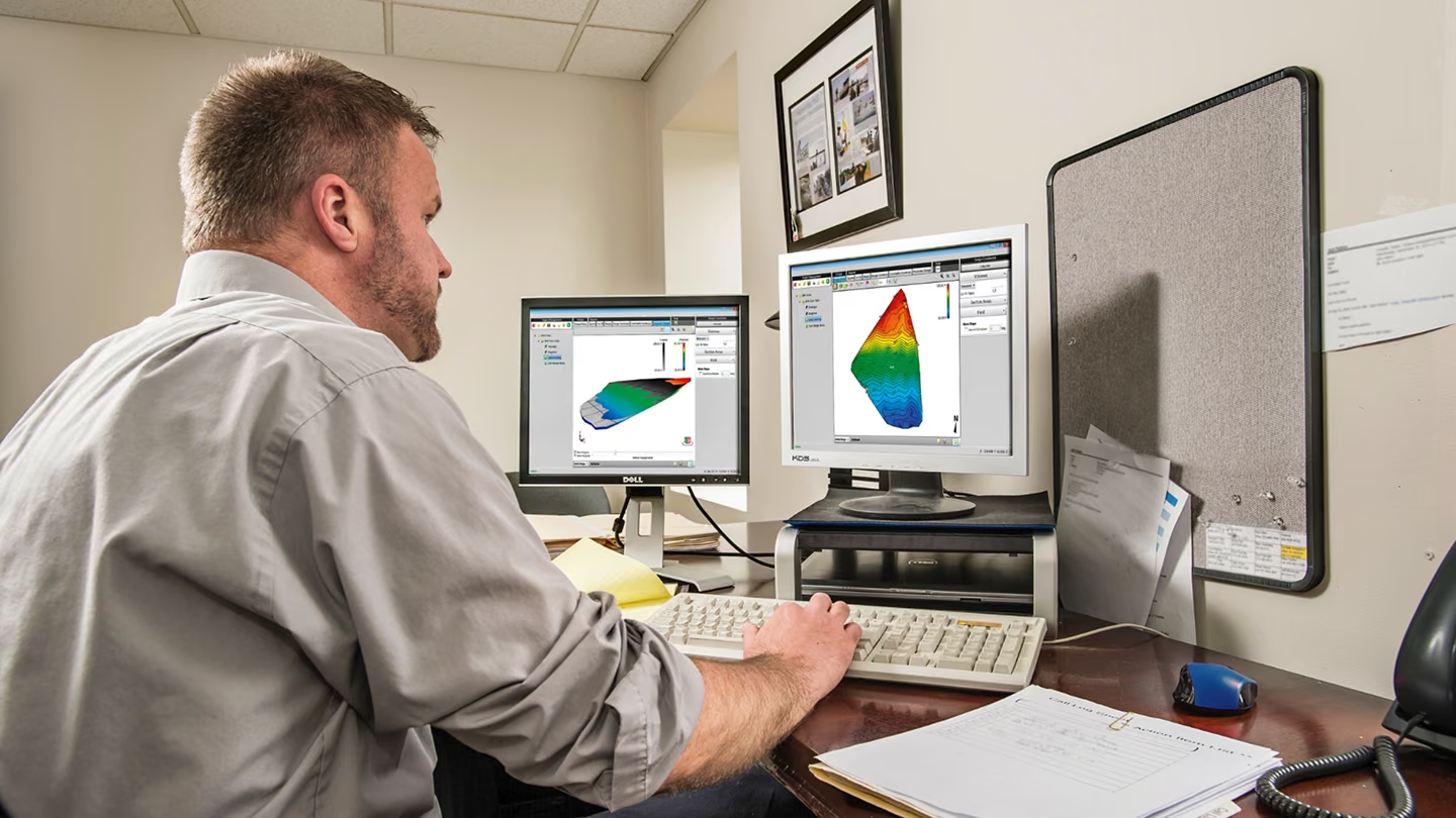
- Analyze field shapes using 3D view, contours, flow arrows and tributary information within WM-Subsurface software.
- Define starting point, vertical intervals, and turn radius capability and WM-Form software will determine the optimal levee location.
Installation
- Use your Autopilot™ steering system to accurately guide your tractor as levees are installed.
Using a Contour
Survey
- Use FieldLevel II to manually mark levees along field contours.
Design
- Define the start point of your levee in your PTx Trimble display.
Installation
- Allow your PTx Trimble display to guide you as you mark perfect levees along the contour.
- Decrease time and difficulty associated with marking a levee by changing the blade step up or down as you move from one contour to another.
Related Products
Not sure which system suits your operation?
MCX Tech works directly with growers to design precision technology solutions that match machinery, farm scale, and operational goals.