
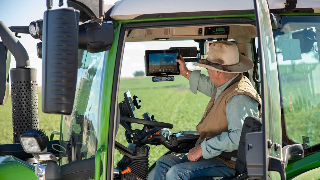
Why choose WM-Survey II?
Perfect for Surveyors of Any Experience Level
Intuitive workflows guide users and reduce survey errors, making it an ideal tool for beginning water management work.
Customizable for Your Needs
WM-Survey II becomes even more powerful by adding our advanced feature set for terrace, waterway and rice levee system designs, as well as generating 3D surface control files and navigational guidance lines.
Optional Advanced Features
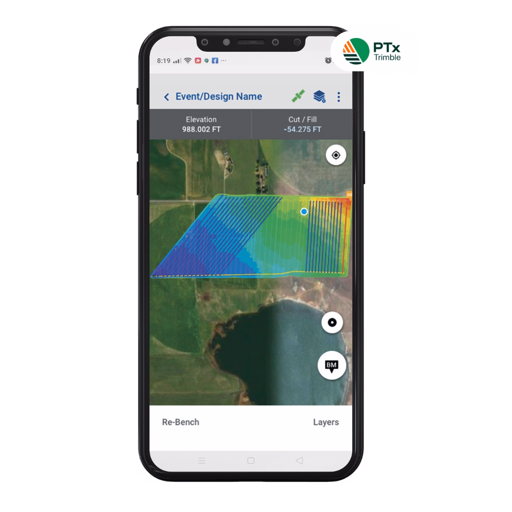
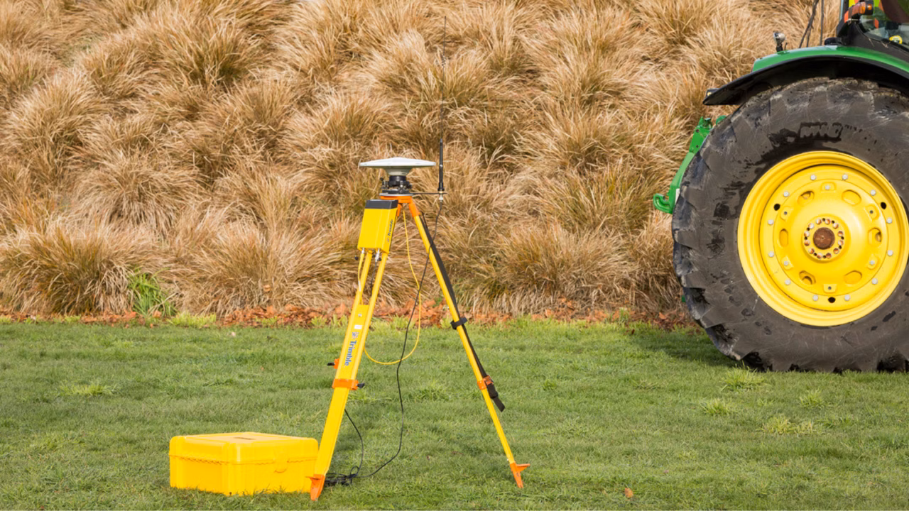
WM-Survey II app
Terrace and Waterway Designs
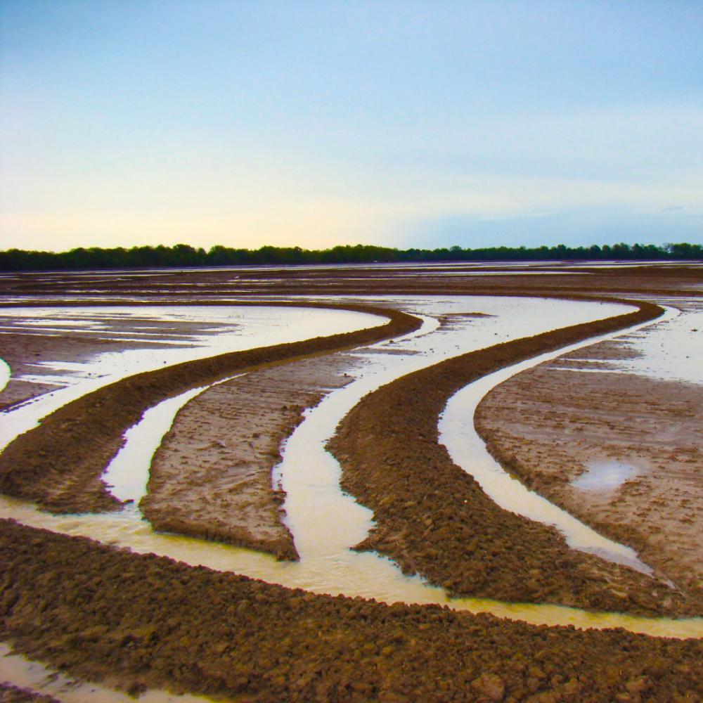
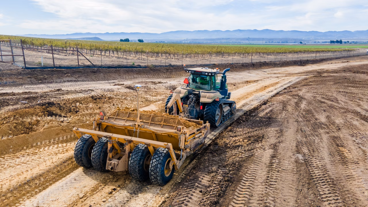
Terraces and waterways are designed to divert water off of a field so that soil erosion and crop loss due to water ponding is reduced. Terraces have a high side that prevents water from running over the top of it, while also typically sloping to the side to divert water into a waterway or ditch outlet along the edge of a field. Waterways transport water off of a field to a designated outlet.
The terrace & waterway design solution allows the user to easily and automatically create a basic terrace or waterway design in just five steps. The 3D control files and feature line guidance files for compatible PTx Trimble displays are also auto-created, allowing land forming work to begin right away – no more waiting for designs to come back from the office. Farmers can now conduct their own maintenance, saving money on contractors by extending the life expectancy of terraces and waterways while preventing up to 5% yield loss in terraced fields.
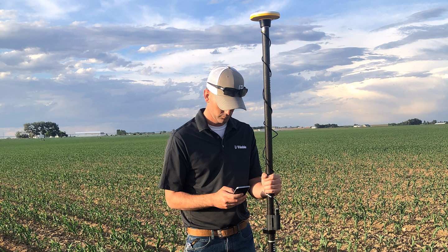
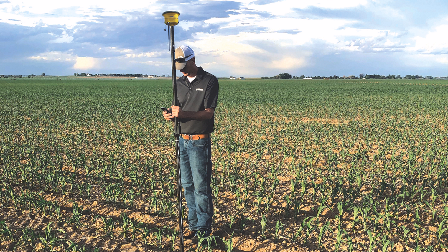
WM-Survey II App
Rice Levee Designs
Rice is grown in a consistent depth of water to help limit weeds, reduce insect infestations and boost overall crop health. Because fields have a minimum slope to one corner for drainage, rice levees are used to hold water at a constant depth across the elevation gradient of the field. As the water reaches the outlet of the field, it is then pumped back to the top to restart the process.
The Levee Design creation feature uses a four-step guided workflow to auto-create rice levees based on desired specifications and elevation across a field. Upon creation of the design, feature line guidance files are also exported and available for use in levee installation. Minimize yield loss from weather-delayed planting by getting to work implementing the designs right away. Eliminate the hours or days waiting for a designer to get back to you.
Related Products
.avif)
Not sure which system suits your operation?
MCX Tech works directly with growers to design precision technology solutions that match machinery, farm scale, and operational goals.